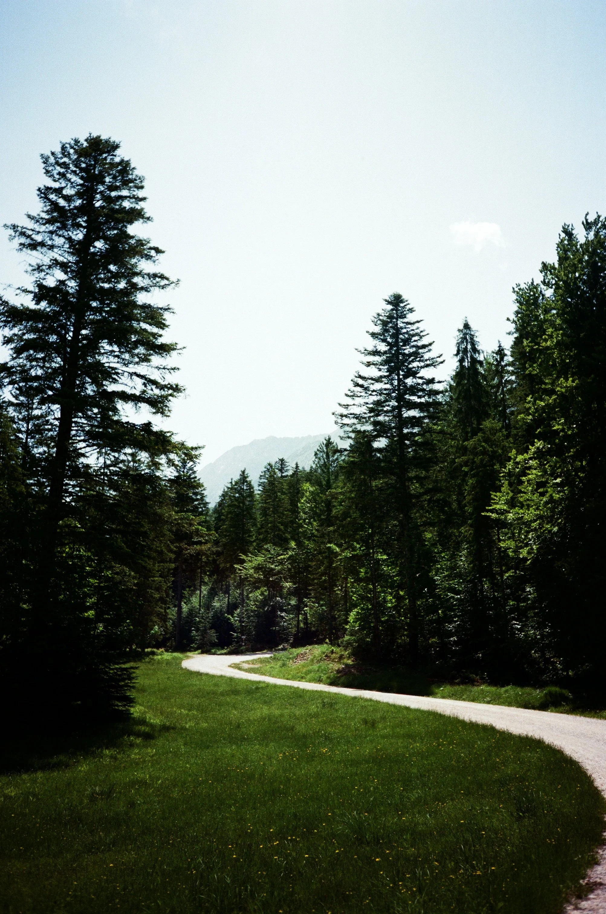
View towards the Austrian Alps from the outskirts of Mittenwald over the lush green hills and mountains.

View of the Kawendel mountain from our terrace.
Getting out of the University
At the start of June, I spent an extended weekend in Mittenwald, enjoying a blend of invigorating hikes and relaxing moments with a close friend from university. We chose a charming, cozy B&B run by a wonderfully friendly host who often shared excellent tips on local hiking routes and activities. However, amusingly, we ended up sparing ourselves some of her advice, which we slightly regretted later.
Our four days were perfectly split between relaxation and adventure. En route to Mittenwald, we made a memorable stop at Kochel am See to indulge in the luxurious Kristall Therme trimini—a stunning thermal bath boasting saline-rich pools, an array of saunas, and steam baths. This was my first experience with Germany’s thermal baths, and it was pretty different from the Japanese Onsen I’ve visited before. Interestingly, both require nudity—no textile bathing allowed—which I found perfectly fine at smaller onsens but felt a bit awkward in the sprawling, multi-pool thermal complex. Still, the sense of freedom and serenity was undeniable. Admittedly, between the pools, you are supposed to wear bathrobes, so you are not fully nude the whole time, just in the water and the saunas. But some people were walking around naked everywhere.
To make the most of our time, we set out early, around 4 am, for the roughly eight-hour drive from the Ruhr area, ensuring we had ample time to unwind at the thermal baths. Sadly, our visit was brief—only two full days in Mittenwald—since we had to start our journey home after breakfast on Sunday to reach back in good time. Despite the whirlwind trip, every moment was filled with memorable sights, soothing baths, and scenic hikes, leaving us rejuvenated and eager to plan our next adventure.

Mountain peaks in the blistering sun.
Hiking plans
On our second and third days, we planned to go hiking. The Kawendel mountain was visible from our room's terrace, and we thought it looked like a great hike. So, we researched some trails around the Kawendel and chose the “Dammkarsteig route”. Our host had warned us that we're pretty sedentary with our university jobs, spending most of our time in offices. We decided to head down the mountain instead of climbing it. We took the gondola to the top and then followed the Dammkarsteig down. Oddly enough, the automatic hiking path indicator at the base station listed the path as closed. We checked with the staff, and they assured us it was open and safe.
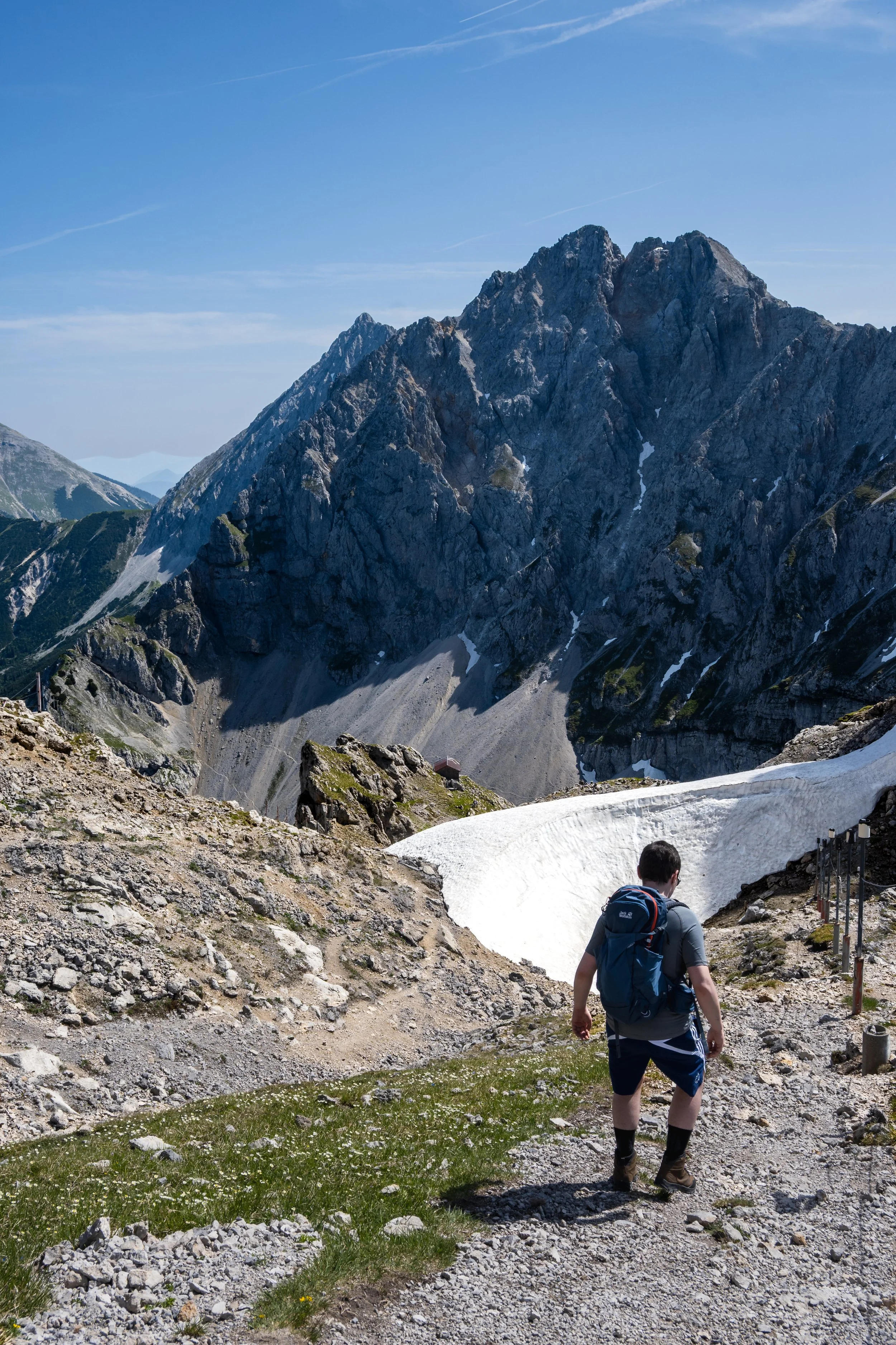
Beginning of the Dammkarsteig from the top. First hurdle: pass over the snow patch.
Dammkarsteig
From the top gondola station, you walk through an interesting 420-meter-long tunnel through the mountain before exiting on the other side at the start of the Dammkarsteig, which is a mostly exposed, steep gravel field. Since we started not too late in the day, we still had some shade from the surrounding peaks and mainly had to worry about slipping on the loose gravel. Some areas still had snow on the relatively steep terrain, which terrified me when I crossed it. Although we were both wearing hiking boots, I slipped quite a bit, as the snow at one point made me fear that I might slip and fall several hundred meters through the gravel field. At that moment, I thought: we should have listened to our host and taken a more leisurely hike. The hike is classified as “medium,” with a hint that the next, more challenging trail (“Klettersteig”) requires climbing harnesses and specialized equipment. Therefore, this was more or less one of the more strenuous and challenging hikes without special gear. Once you leave the steepest parts at the top behind, it becomes much more manageable. Still a bit tricky, as you always need to be careful with your step. Until reaching the tree line, you are walking on loose gravel that shifts with every step. When you reach the tree line, the hike becomes much easier. The second half of the trek through the forests is mostly well-maintained forestry roads.
Once you leave the steepest parts at the top behind, it becomes much more manageable. Still a bit tricky, as you always need to be careful with your step. Until reaching the tree line, it is always loose gravel you are walking on, and thereby can move with every step.
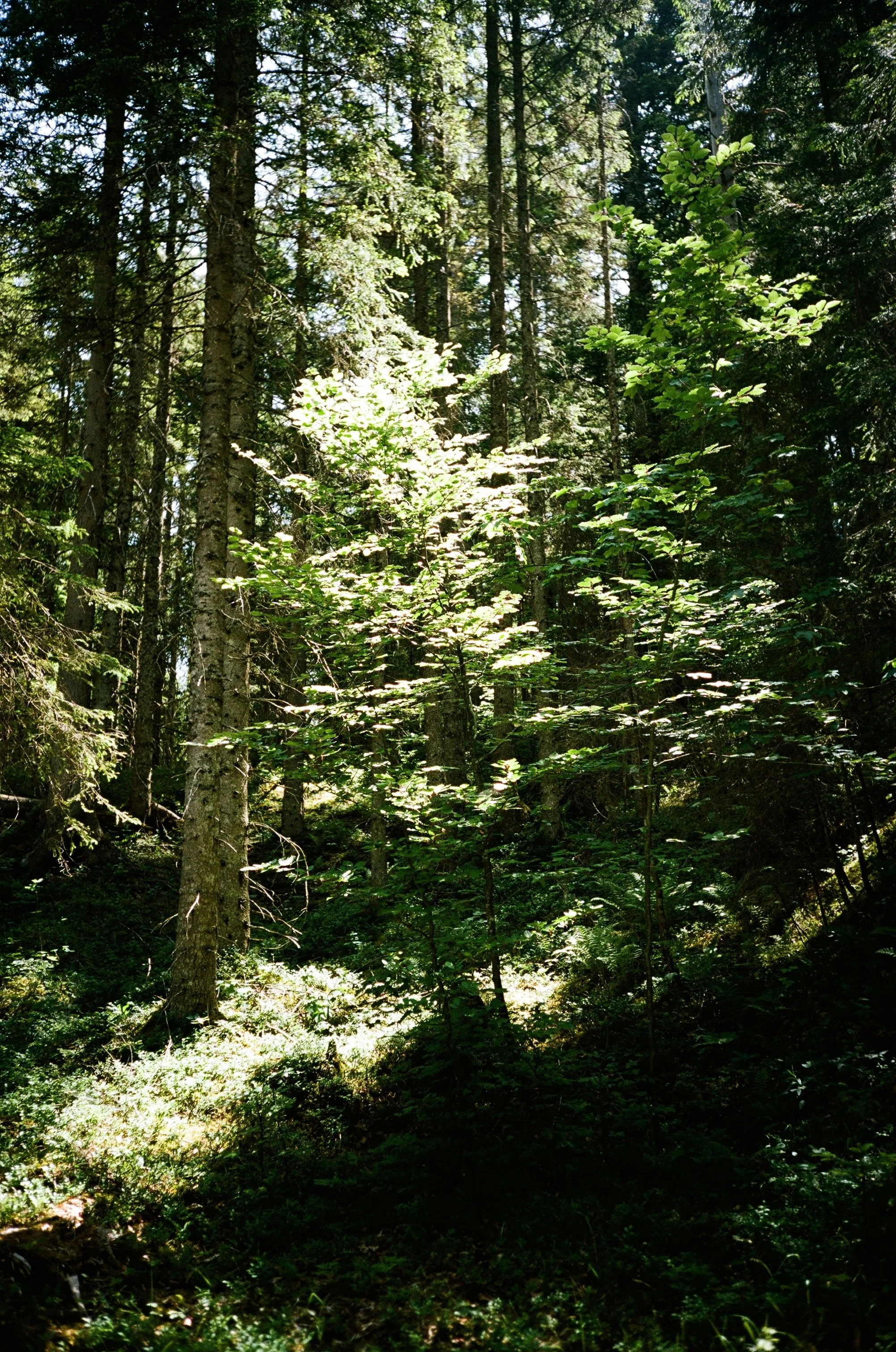
When you reach the tree line, the hike becomes much easier. The second half of the hike through the forests is mostly well-maintained forestry roads.


Mountain views at every corner.
Geisterklamm

The Geisterklamm walk near Mittenwald.
After our earlier hike, it was only around 1 pm., so we decided to enjoy a more relaxing adventure. We chose the Geisterklamm because the thought of a narrow canyon with a river and lush trees sounded perfect, especially since the temperatures had soared to around 30 °C in the sun. Not exactly ideal for strenuous, exposed mountain hikes!
We had the option to start from the top or bottom of the trail, and we went with starting at the top from a designated parking lot near Mittenwald, just on the Austrian side of the border. Luckily, a kind couple leaving their spot gave us their parking ticket, saving us the 6€ fee at the lot—since we'd already paid the same at the gondola station (plus the 28€ one-way gondola fare per person).
The main trail is friendly for families, with fun interactive stations where kids can learn about the local mountains and nature. But honestly, it’s a beautiful hike that everyone can enjoy, no matter your age.
The first part of the hike follows a gravel road through the forest, going over a couple of small hills before you turn off the main trail and start descending toward the canyon. Inside the canyon, you walk along a metal walkway attached directly to the cliff side, above the water. The views down were spectacular, and the clear, light blue color of the mountain river was always fascinating. I know that the color mainly comes from minerals and sediment that the water carries through the narrow canyon and the mountain. Still, the sight of water with such a bright color (also in mountain lakes) is always astonishing. At the same time, since the water comes down the mountains mainly from melting snow and ice, it is very cold. Great to dip your hand or feet in, but you need to be tough to go swimming in it. Additionally, the current in most of these rivers is powerful, so I would advise against swimming in them.


Hiking in the scorching heat

First kilometer along the river.
On the second hiking day, we felt our legs. Therefore, we decided on a “more relaxing” hike, 6 km in length, with a 600m vertical climb. Sounds manageable until the first kilometer is flat along the river, and the following 5 kilometers are steady uphill. In 30 °C weather, I must admit that we turned around after approximately 4.5 km, as it is not a loop but an in-and-out hike. This means that at the end of the 6 km hike, you turn around and hike back the same way, for a total of 12 km. We did not feel fit enough to continue 1.5 km uphill and then turn around and walk another 6 km downhill again.
In general, the path follows a forested road along a river before climbing steadily uphill towards the mountains. Many mountain bikers are also on this trail, but, besides people with e-bikes, they were not faster uphill than we were walking. The only tricky parts are when they turn around and drive down relatively fast, even through corners, which are not very observable from below. We were more than once surprised by a very quick biker coming around a corner.
After we abandoned the hike due to the high temperature and the sparse amount of shade along the path in the early afternoon, we decided to go swimming instead to relax and shelter from the sun.